Carpark Tegelbergbahn – Schutzengelweg - Rohrkopfhütte – Drehhütte – Carpark Tegelbergbahn.
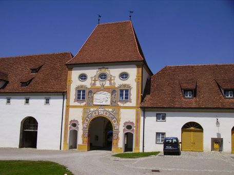
Tourist Information Schwangau
- Strecke8,55 km
- Dauer3:00 h
- Aufstieg523 Hm
- Abstieg523 Hm
- Schwierigkeitmittel
Höhenprofil
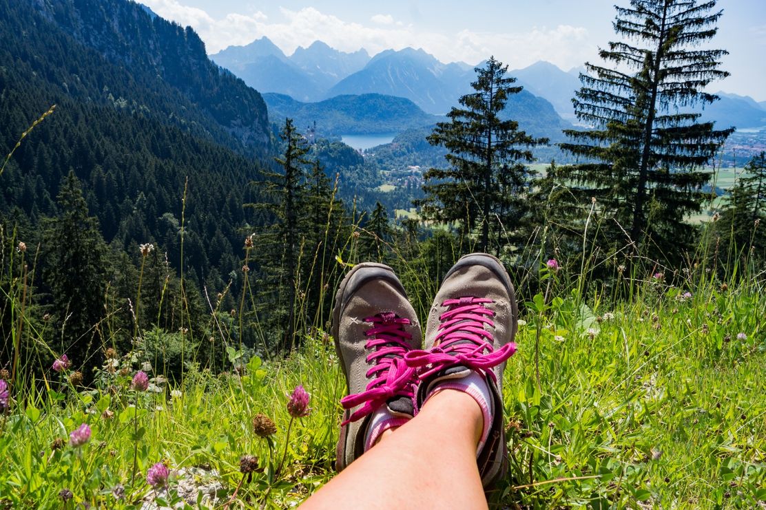
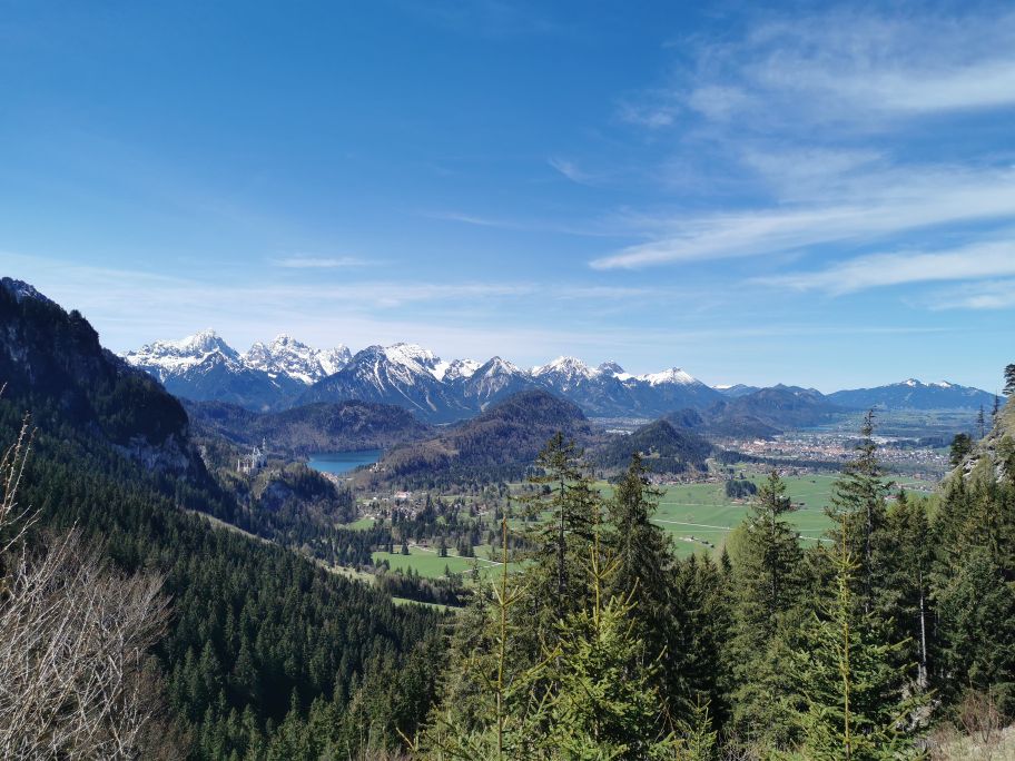
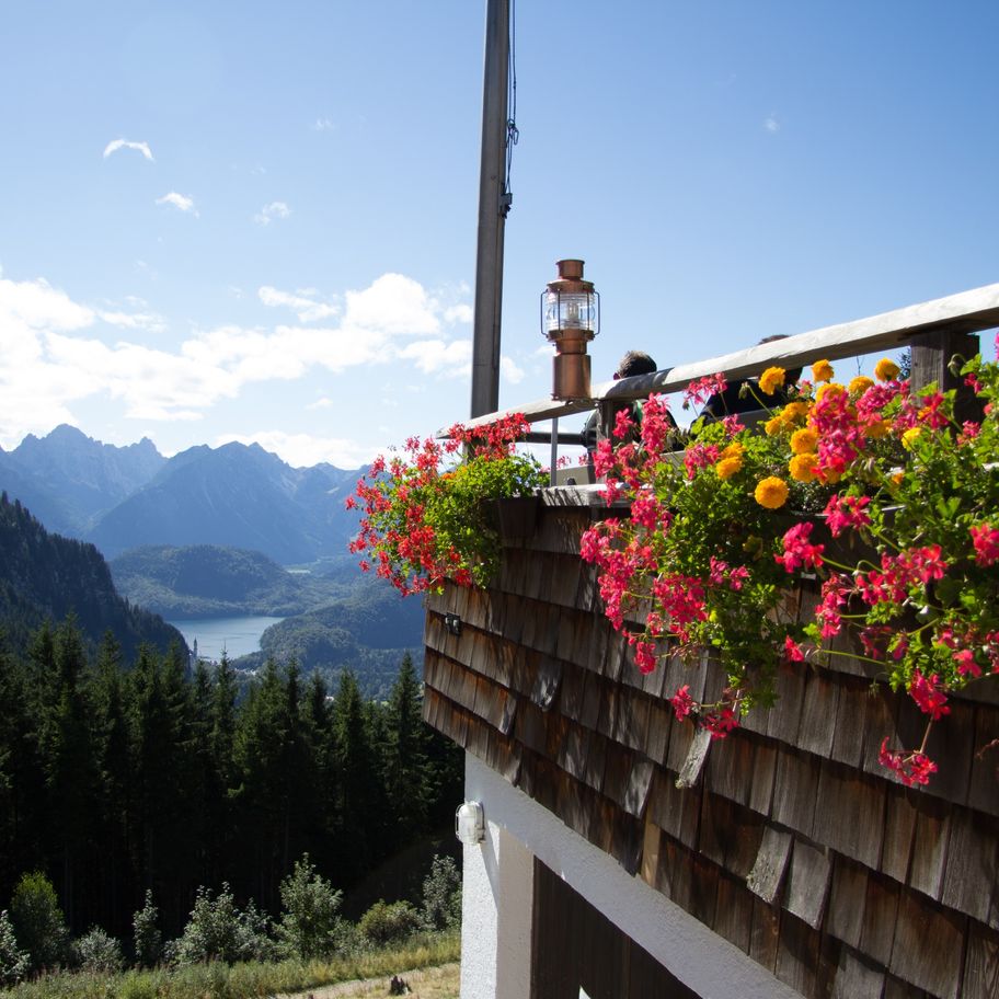
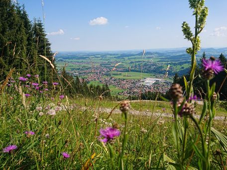
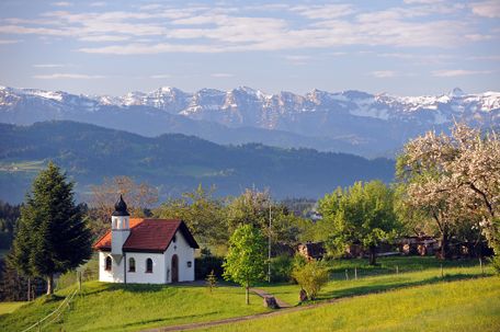
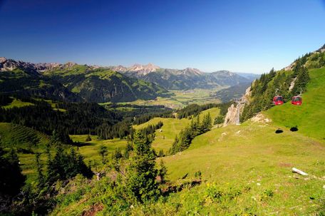
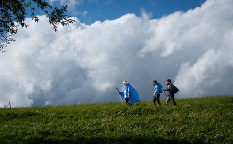
Nice tour with wonderful views of Neuschwanstein Castle, Hohenschwangau Castle and the landscape. Refreshments in the mountain huts. For more follow this Link.
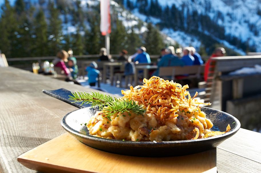
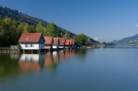
From the Tegelberg valley station, where there is paid parking and a bus stop, hike through the forest along the Schutzengelweg trail to the Rohrkopf Hut. Please always follow the signs "Schutzengelweg". Enjoy the unique views of the royal castles and the mountain panorama. After about an hour you will reach the wonderful sun terrace of the Rohrkopfhütte, from where you can enjoy Allgäu specialities with a view of Neuschwanstein Castle and the Alp and Schwan lakes. The way back is via the Drehhütte, which you reach after about 20 minutes. Then hike down the road through the forest with beautiful views of the Forggensee and Bannwaldsee lakes. After about an hour, you will reach the Outward Bound car park. From here, follow a comfortable meadow path back to the starting point at the Tegelberg valley station.
Anfahrt
From Schwangau you have to look to the signs "Tegelbergbahn"Parken
Some carparks near the cablecar "Tegelbergahn"Öffentliche Verkehrsmittel
You can use the busses to "Tegelbergbahn"sturdy footwear, drinks, weatherproof clothing
Tourist Information Schwangau
Tourist Information Schwangau
Tourist Information Schwangau
Tourist Information Schwangau
Ähnliche Touren
- Wandertour
Höhenweg zum Gasthof Fallmühle
© Pfronten Tourismus
Alternativ zur Talwanderung führt auch der Höhenweg über den Tiroler Stadel (keine Einkehrmöglichkeit) zum Gasthof Fallmühle. Schöne Ausblicke ins Pfrontener Tal belohnen den Aufstieg. Nach einer Stärkung im Gasthof Fallmühle geht es durchs romantische Achtal wieder zum...
mehr dazuDistanz 9,7 km Dauer 3:10 h Aufstieg 365 m Schwierigkeit mittel - Wandertour
Die Baumveteranen von Oberstaufen-Steibis - Auf den Spuren alter Bäume
© Naturpark Nagelfluhkette e.V.
Dein Freiraum - Mein Lebensraum. Verantwortungsvoll in der Natur unterwegs. Empfohlene Tour!
Hochgratbahn Talstation - Untere Lauch-Alpe - Schilpere-Alpe - Berggasthof Oberstiegalpe - Untere Stieg-Alpe - Hochgratbahn Talstation
Auf den Spuren alter BäumeDistanz 7,3 km Dauer 2:30 h Aufstieg 431 m Schwierigkeit mittel - Wandertour
Wasserläufer Route der Wandertrilogie Allgäu - Etappe 25a - Görisried über Leiter nach Oy-Mittelberg
© Allgäu
Einsamkeit, eine durch und durch beschwingte Wald- und Wiesenlandschafft voller Stille und Erhabenheit.
mehr dazuDistanz 11,4 km Dauer 2:45 h Aufstieg 185 m Schwierigkeit mittel - Wandertour
Bad Wurzach | Wanderweg Nr. 9 – Schloss-Tour – auf den Spuren des Hauses Waldburg-Zeil
© Outdooractive Redaktion
Ein Aussichtspunkt mit Alpenblick, eine kleine Kapelle, ein Schloss mit herrlicher Gartenanlage und ein schöner Tobel sind die Highlights dieser Tour.
mehr dazuDistanz 9,4 km Dauer 3:15 h Aufstieg 113 m Schwierigkeit mittel - Wandertour
Kneippwanderweg Teil 2: Buflingsried bis Forst - Christians Wandertipp
© Landkreis Lindau (Bodensee)
2021 wird der 200. Geburtstag von Pfarrer S. Kneipp gefeiert. Deshalb führt Sie Christians Wandertipp auf dem 2. Teil des Kneipprundwanderwegs von Buflingsried nach Forst.
mehr dazuDistanz 8,6 km Dauer 2:25 h Aufstieg 148 m Schwierigkeit mittel - Wandertour
Gessenwangalm - Füssener Jöchle - Sonnenalm
© Tannheimer Tal
Eine schöne und aussichtsreiche Wanderung.
mehr dazuDistanz 8,7 km Dauer 2:30 h Aufstieg 717 m Schwierigkeit mittel - Wandertour
Alpspitzrunde mit Wasserfall
© Pfronten Tourismus
Diese Rundwanderung verbindet Pfronten-Kappel und den dazugehörigen Edelsberg mit Nesselwang und der zugehörigen Alpspitze. Zwei Wasserfälle sorgen für eine Abkühlung am Weg.
mehr dazuDistanz 9,5 km Dauer 4:05 h Aufstieg 733 m Schwierigkeit mittel - Wandertour
Wasserläufer Route der Wandertrilogie Allgäu - Etappe 14 - Immenstadt/Bühl am Alpsee - Oberstaufen
© Allgäu GmbH, Gesellschaft für Standort und Tourismus
Etappe mit schönen Ausblicken auf den Alpsee und einigen Alpen zur Einkehr.
mehr dazuDistanz 19,8 km Dauer 6:30 h Aufstieg 670 m Schwierigkeit mittel - Wandertour
Crescentia-Pilgerweg - Kaufbeuren, Irsee, Ottobeuren, Mindelheim, Kaufbeuren
© Kaufbeuren Tourismus- und Stadtmarketing e.V.
Der Crescentia-Pilgerweg von Kaufbeuren über Ottobeuren und Mindelheim zurück nach Kaufbeuren
mehr dazuDistanz 90,5 km Dauer 23:43 h Aufstieg 1.119 m Schwierigkeit mittel - Wandertour
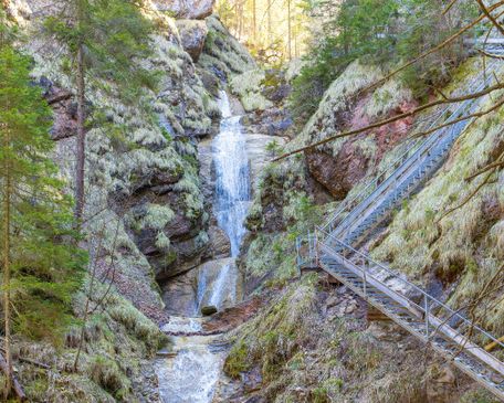
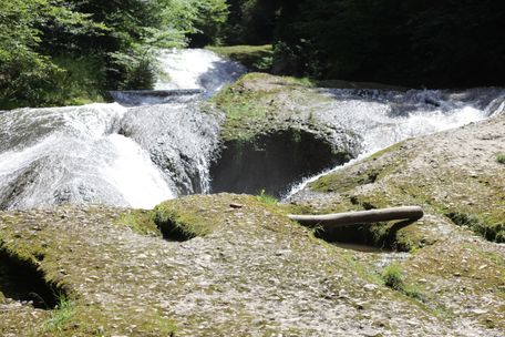
Eistobel - Quer durch die Schlucht zum Schüttentobel
© Rolf Brenner
Die Wanderung führt flussaufwärts quer durch den Eistobel, vorbei an rauschenden Wasserfällen, tiefen Strudellöchern, riesigen Nagelfluhblöcken, gewaltigen Felswänden und einem Stausee.
mehr dazuDistanz 3,6 km Dauer 1:30 h Aufstieg 82 m Schwierigkeit mittel
Die Inhalte dieser Seite werden in Kooperation mit Outdooractive bereitgestellt.