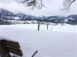
From the centre of Grän, via the district Neu-Grän to Adlerhorst.
- Strecke4,84 km
- Dauer1:48 h
- Aufstieg273 Hm
- Abstieg65 Hm
- Schwierigkeitmittel
Höhenprofil
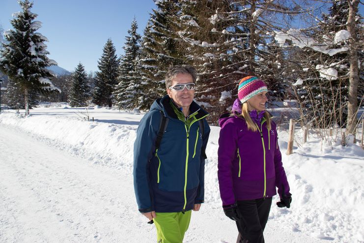
It does not always have to be skiing, snowboarding or cross-country skiing. On almost 81 kilometres of cleared paths, hikers roam through the snow-covered fairytale landscape. Along the way, cosy huts invite you to stop for a break. Sitting by the open fire, warming up with a Jaga tea or fortifying yourself with a snack for the next few kilometres - this is how you can enjoy snow walks to the full.
From the public car park, turn left into the centre of Grän. Follow the road in direction Neu-Grän. Along the main road towards Engetal, after about 200 meters turn right onto the gravel road. Follow the path through the snowy winter landscape until you reach the mountain hut Adlerhorst.
Anfahrt
On the motorway A7 at the exit "Oy-Mittelberg" on the B310 towards Wertach and to Oberjoch. There follow the signposting "Tannheimer Tal" B199, exit Grän.From the Tyrolean side via Reutte on the B198 towards Lechtal until Weißenbach, over the Gaichtpass along the B199 until exit GränParken
At the community center in Grän - with costsÖffentliche Verkehrsmittel
By train to Sonthofen, Pfronten/Ried or Reutte, then by bus to Grän.
It should be noted that winter hiking also involves an increased risk of accidents and injuries. Especially in winter, special attention must be paid to the condition of the paths. Suitable clothing, good footwear and possibly hiking sticks provide additional safety. Stay on the marked paths.
An up-to-date and well-kept/maintained equipment (shoes, sticks and clothes) not only provides a considerable degree of safety but also makes winter hiking much easier. Sun protection (high protection factor and possibly sunglasses) as well as sufficient liquid should not be forgotten.
Ähnliche Touren
- Winterwandern
Winter hike to Wittelsbacher Höhe near Ofterschwang
A delightful hike near Ofterschwang over the village of Wielenberg and the Wittelsbacher Höhe near Schweineberg with a magnificent view of the Allgäu Alps and the upper Iller Valley.
mehr dazuDistanz 7,0 km Dauer 2:15 h Aufstieg 147 m Schwierigkeit mittel
Die Inhalte dieser Seite werden in Kooperation mit Outdooractive bereitgestellt.