Along the Ostrach.
Höhenprofil
The short stage to the themed town of Sonthofen takes you across the Ostrach river and then along it to the town centre in Sonthofen.
Follow Sonthofener Straße until you leave Burgberg, then turn left into Edelweiße, which leads to the cemetery and a bridge over the Stanzlach. On the opposite bank, follow the river to the right and, at the confluence of the Stanzlach and Ostrach, you reach the outskirts of Sonthofen. After crossing the entrance road, go straight ahead to the Ostrach and follow the river on a wide, level path. Shortly after passing under a federal road, you cross the river by means of a covered wooden bridge. Follow the Ostrach to the right. After about 250 m you are at the mouth of the Iller, which now keeps you company. Go under the railway tracks along the Rieden district of Sonthofen to the Oberzollbrücke. At the bridge there is a junction with the red-marked Himmelstürmer route. This leads along the river Iller into the old town of Sonthofen.
Öffentliche Verkehrsmittel
Upper Allgäu Transport CommunityTel. +49 (0) 8321 - 612238
Regionalverkehr Allgäu GmbH
Tel. +49 (0) 8322 - 96770
Bus connections from Sonthofen to Bad Hindelang:
Sonthofen train station, bus connection to Hinterstein. From Hinterstein, stop at the "Grüner Hut" inn by bus to the Giebelhaus (private road).
Timetable information: Fimra Wechs, Tel. +49 (0) 8324 - 93230 and www.wechs.net
.
Kompass Hiking Guide: Hiking Trilogy Allgäu - ISB N 978-3-99044-344-6
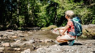
Basically, you should check the weather before every hike on the Allgäu Hiking Trail. Rain and/or fog can severely impair visibility, making it more difficult for you to orientate yourself. At the same time, longer periods of wet weather can increase the risk of slipping.
As the Wasserläufer and Himmelsstürmer route runs partly üover the middle to high altitudes of the Allgäu Alps, it is absolutely essential that you have alpine experience and are sure-footed.
This means that you should also expect exposed, slippery and unsecured walking passages over rugged terrain with loose debris and snowfields, even in high summer. You should be sure-footed and free from vertigo.
For your safety, there are rope protections in some places. Likewise, some sections require a little more stamina due to easy climbs. Here you may also need to use your hands. At the same time, however, there are also some passages
Sturdy shoes, rain gear, sun protection, water bottles, etc. are recommended.
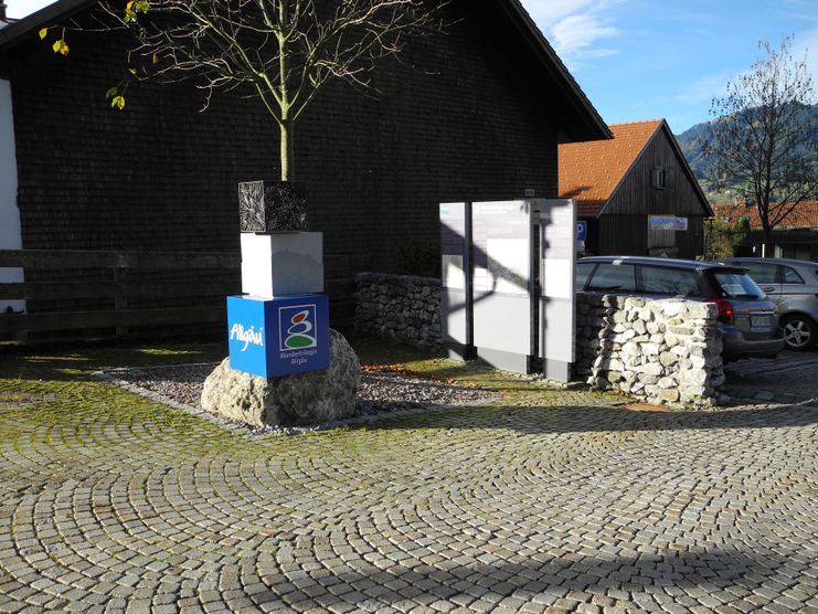
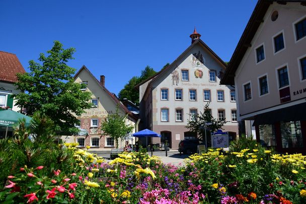
Sehenswürdigkeiten entlang der Tour
- HotelSonthofen
Berghotel Sonnenklause
Family-run, comfortably manageable, with 16 rooms in the middle of the natural paradise of the Allgäu mountains, you will feel as soon as you enter the Berghotel Sonnenklause in Sonthofen that the attitude to life here is a special one: very close to nature at an...
mehr dazu- Wandern
- AllgäuHotels
Weitere Etappen
- Wandertour
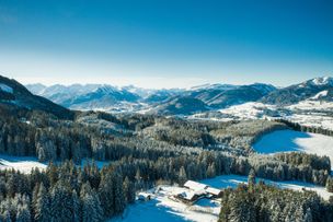
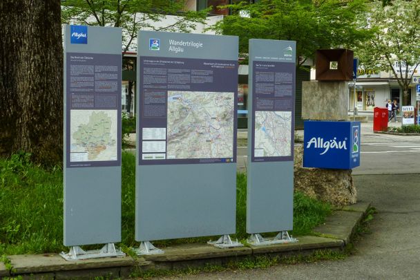
"Wasserläufer"-Trail
© Allgäu GmbH
The "Wasserläufer"-Route consists of 26 stages (not counting access routes) and is 384 km long.
mehr dazuDistanz 381,6 km Dauer 110:10 h Aufstieg 11.237 m Schwierigkeit schwer
Die Inhalte dieser Seite werden in Kooperation mit Outdooractive bereitgestellt.