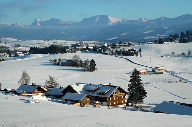
Demanding, rolled winter hiking trail with a beautiful view of the mountains from Oberreute into the neighbouring Austrian village Sulzberg.
- Strecke3,05 km
- Aufstieg210 Hm
- Abstieg210 Hm
- Schwierigkeitschwer
Höhenprofil
The trail begins directly at the ski lift towards the well "Kalter Brunnen". First it's more increasing, afterwards it becomes less increasing. The winter hiking trail leads you parallel to the cross-country ski trail in some sections. However, please don't walk on the cross-country track. It will take you approx. 40 minutes to reach the "Hochsträß". You can connect with the Sulzberg winter hiking trail. An incomparable mountain panorama is the reward for the exhausting ascent.
Die Inhalte dieser Seite werden in Kooperation mit Outdooractive bereitgestellt.