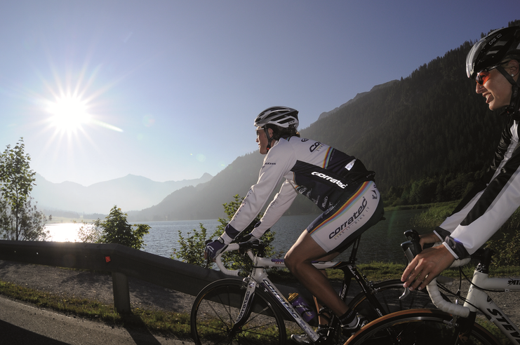
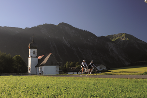
Start at the Tourism Information Office in Tannheim towards the East. At the intersection Grän/Haldensee turn left on to the Road L261 through the Engetal (valley) downhill to the former customs house "Fallmühle"….
- Strecke92,53 km
- Dauer4:30 h
- Aufstieg800 Hm
- Abstieg800 Hm
- Schwierigkeitmittel
Höhenprofil
Start at the Tourism Information Office in Tannheim towards the East. At the intersection Grän/Haldensee turn left on to the Road L261 through the Engetal (valley) downhill to the former customs house "Fallmühle" to Pfronten. At the entrance to Pfronten, turn left and follow the main street to Pfronten-Ried. Turn left at the intersection. After a 90-degree left curve, turn right towards Füssen. Take a right at the traffic circle and continue along the road until Weißensee.
At the end oft he village, turn left and head via Schwarzenbach and Hopferried to Hopferau. Continue on to Hopfen am See and Osterreinen. Staying on the same road follow it until Roßhaupten. In Roßhaupten, keep right and ride along the Forggensee lake shore to Bayerniederhofen. In the middle of town, turn right on to the bike trail. Past the Bannwaldsee via Mühlberg and Waltenhofen in the direction of Schwangau. Before the Lechbrücke (bridge), turn right towards Vils and Pfronten. After passing the church in Pfronten-Steinach, turn right towards the Tannheim Valley uphill through the Engetal on the Road L261 to Grän. At the intersection Grän/Haldensee, turn right back to Tannheim and the starting point.
Anfahrt
The quickest and easiest and toll-free route to the Tannheim Valley by car leads via the A7 highway. Turn off at Exit "Oy-Mittelberg", turn right and follow the signs along state road B 310 heading toward Wertach/Oberjoch for ca. 15 kilometers. In Oberjoch turn left into the Tannheim Valley.Parken
Parking near the cable car in Tannheim - chargeableÖffentliche Verkehrsmittel
Train stations in Germany are: Sonthofen (24 km, bus transfer) Pfronten/Ried (16 km, bus transfer) and in Austria at Reutte (24 km with bus connection).
Traffic regulations (StVO) must be adhered to at all times.
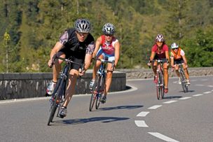
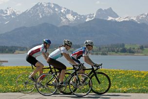
A Roadbike is recommended.
Every participant rides at his/her own risk.
Ähnliche Touren
- Rennrad
Gaichtpass Tour
Start at the Tourism Information Office in Tannheim towards the East. At the intersection Grän/Haldensee turn left on to the Road L261 through the Engetal (valley) downhill to Pfronten to...
mehr dazuDistanz 56,6 km Dauer 2:40 h Aufstieg 510 m Schwierigkeit mittel - Rennrad
Namlos Tour
Start at the Tourism Information Office in Tannheim towards the East, past Nesselwängle via the Gaichtpaß to Weißenbach. Turn right at the traffic circle in to the Lech Valley, past...
mehr dazuDistanz 87,3 km Dauer 3:30 h Aufstieg 1.303 m Schwierigkeit mittel - Rennrad
On the Trail of King Ludwig II
Start at the Tourism Information Office in Tannheim towards the East. At the intersection Grän/Haldensee turn left on to the Road L261 through the Engetal (valley) downhill to the former customs house "Fallmühle"…
mehr dazuDistanz 81,1 km Dauer 4:45 h Aufstieg 1.110 m Schwierigkeit mittel - Rennrad
Rottachsee Tour
© Tannheimer Tal
Start at the Tourism Information Office in Tannheim towards the East. At the intersection Grän/Haldensee turn left on to the Road L261 through the Engetal (valley) downhill to Pfronten to the main street...
mehr dazuDistanz 107,5 km Dauer 3:30 h Aufstieg 1.157 m Schwierigkeit mittel - Rennrad
Stanzach-Hinterhornbach
Start at the Tourism Information Office in Tannheim towards the East, past Nesselwängle via the Gaichtpaß to Weißenbach. Turn right at the traffic circle in to the Lech Valley, past...
mehr dazuDistanz 79,4 km Dauer 3:50 h Aufstieg 938 m Schwierigkeit mittel

Die Inhalte dieser Seite werden in Kooperation mit Outdooractive bereitgestellt.