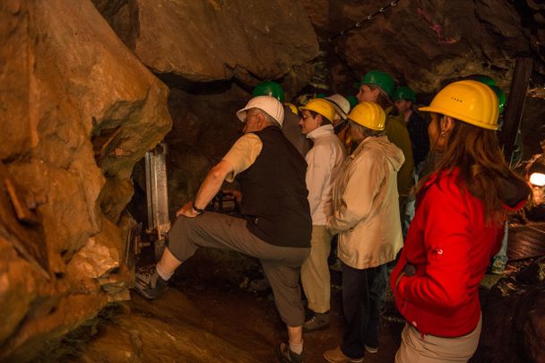
The crossing of the guardian of the Allgäu promises great excitement. From the brewer's village over the Grünten, through a bizarre gorge to Burgberg.
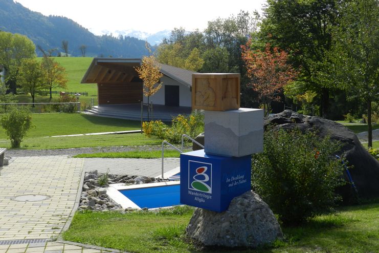
Allgäu GmbH Leitprodukte
Höhenprofil
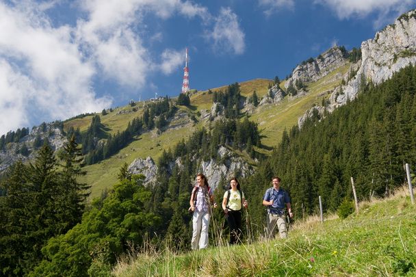
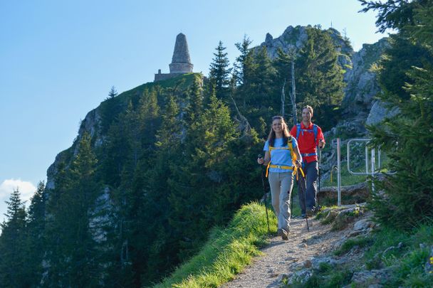
The stage leads past the Alpe Kammeregg and goes over the summit with the Jägerdenkmal. The transmission tower of the Bavarian Broadcasting Corporation is quite striking. Downhill past the Grüntenhaus and through the Starzlachklamm gorge to Burgberg.
In Rettenberg, turn off Burgberger Straße into An der Halde Straße at the Adler-Post brewery inn. At the next intersection, turn left into Falkensteinweg and straight ahead into Bergstraße. This is followed by a field or meadow path leading towards Gebhardshöhe. At a T-junction with a stele at the entrance to the village, you meet the main route and turn left onto it. Shortly afterwards, the trail bends to the left and leads to a T-junction. Turn right and follow the path to the settlement of Weiher. Immediately before the first houses, turn left off the narrow road and walk along a paved path past a water basin and sports field. Cross the Roßbach stream and immediately afterwards a country road, cross a parallel path and turn right after about 60 m at the crossroads. After about 450 straight metres, turn left onto a road and walk to Wagneritz. In the village, past the church, you leave the village via the last path that branches off to the right - which marks the beginning of the ascent to the Grünten, which is about 1,000 m higher. Follow the path that runs under a material cable car until you reach a crossroads and a stream. Turn left and soon follow a wide path to the asphalt access road to the Kammeregger-Alpe, which is only a few steps away. Past the alpine pasture, you climb steadily directly uphill along the edge of the forest. Shortly before the end of the forest and around 350 before a ski lift, continue straight on along the path, ignoring the branch leading to the left. After crossing the ski lift, the path bends to the right, you pass the top station of the lift and reach the summit of the Grünten with the Jägerdenkmal and the broadcasting facilities of the Bavarian Broadcasting Corporation. The perfect view is immediately offered from the monument. As soon as you have passed the transmitters and started the descent, the hike continues to the right to the Grünten Haus, which is soon reached after a sharp left turn. Passing the house straight on, the trail continues downhill towards the Kehr-Alpe. Pass the Obere Schwand-Alpe (refreshment stop), then descend in bends across meadows to a forest, where you meet a newly constructed wide gravel path. After about 70 m, turn onto the path that branches off to the right and join a farm track at the Kehr-Alpe. Follow this path and a short access road directly to the rustic Topfen alpine pasture. From here you hike on a meadow path, later on a rooty-rocky path down to the Starzlach river. A real highlight is the upcoming hike through the wild Starzlachklamm gorge. After climbing through the gorge, you pass a ticket booth and continue along the river to a bridge over which you reach the village of Winkel. Less than 300 m later, you leave the gorge and cross the Stanzlach again. A few minutes later you reach another bridge. Here, at the cemetery and the sports facilities, the 1.3 km long spur road branches off to Burgberg. You are now on Edelweißstraße, which leads directly to Sonthofener Straße, which you follow to the church in the centre of the village.
Öffentliche Verkehrsmittel
Verkehrgemeinschaft Oberallgäu
Tel. +49 (0) 8321 - 612238
Regionalverkehr Allgäu GmbH
Tel. +49 (0) 8322 - 96770
Compass Hiking Guide: Hiking Trilogy Allgäu - ISB N 978-3-99044-344-6
.Himmelstürmer Route - Hiking Trilogy Allgäu: Füssen - Oberstaufen - Oberstdorf. 55 stages. With GPS tracks (Rother Wanderführer)
Basically, you should check the weather before every hike on the Allgäu hiking trilogy. Rain and/or fog can severely impair visibility, making it more difficult for you to orientate yourself. At the same time, you can expect an increased risk of slipping if the weather remains wet for a longer period of time.
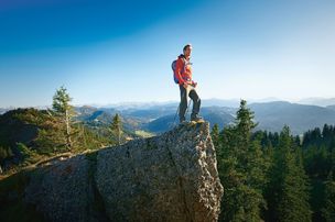
Since the Himmelsstürmer route runs over the medium to high altitudes of the Allgäu Alps, it is essential that you have alpine experience and are sure-footed.
So you should also expect exposed, slip-and-fall-prone and unsecured walking passages over rugged terrain with loose scree and, even in high summer, snowfields. You should be sure-footed and free from vertigo.
For your safety, there are rope protections in some places. Likewise, some sections require a little more stamina due to easy climbs. Here you may also need to use your hands. At the same time, however, there are also steps in some passages. Pay attention to the colouring of the trail category on the signposts.
Sturdy shoes, rain gear, sun protection and water bottle etc. are recommended.
Weitere Etappen
- Wandertour
"Himmelstürmer"-Trail
© Allgäu GmbH
The "Himmelsstürmer"-Route consists of 24 stage (not counting access routes) and is 342 km long.
mehr dazuDistanz 432,5 km Dauer 148:35 h Aufstieg 17.980 m Schwierigkeit schwer
Allgäu GmbH Leitprodukte
Allgäu GmbH Leitprodukte
Allgäu GmbH Leitprodukte
Allgäu GmbH Leitprodukte
Allgäu GmbH Leitprodukte
Allgäu GmbH Leitprodukte
Allgäu GmbH Leitprodukte
Allgäu GmbH Leitprodukte
Allgäu GmbH Leitprodukte
Allgäu GmbH Leitprodukte
Allgäu GmbH Leitprodukte
Allgäu GmbH Leitprodukte
Allgäu GmbH Leitprodukte
Allgäu GmbH Leitprodukte
Allgäu GmbH Leitprodukte
Allgäu GmbH Leitprodukte
Allgäu GmbH Leitprodukte
Allgäu GmbH Leitprodukte
Die Inhalte dieser Seite werden in Kooperation mit Outdooractive bereitgestellt.