Class running round in Nesselwängle.
TVB Tannheimer Tal
- Strecke5,07 km
- Aufstieg83 Hm
- Abstieg83 Hm
- Schwierigkeitmittel
Höhenprofil
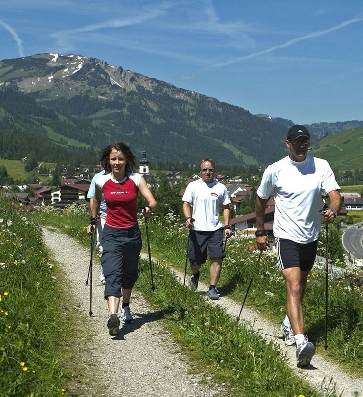
Experience the running and Nordic Walking Arena Tannheimer Tal
Whether you are a breathless beginner or a well-trained mountaineer: in the Tannheimer Tal everyone who likes to get some fresh air and explore the surrounding mountains on foot gets his money's worth. All active people, from hobby sportsmen to professionals, are spoilt for choice day after day: Tyrol's largest path network offers 26 marked routes which extend over a total of 186 kilometres. Beginner's loops are just as much a part of it as demanding mountain runs. And so that all guests know which route suits their physical condition and requirements, a specially prepared map and small boards provide information about the altitude profile, reason for difficulty and length of the route - the running and Nordic Walking map.
Along meadows, over green pastures, along glittering mountain lakes... Walking and running in the Tannheimer Tal is not only the best training for the body, but above all a balm for the soul. The starting points for all those hungry for exercise are in the six villages Tannheim, Grän- Haldensee, Nesselwängle-Haller, Zöblen, Schattwald and Jungholz. From here, walkers, Nordic walkers and runners follow the signs. They are easy to recognize: Male with the sticks. In addition, all routes, as well as ski slopes, are divided into the categories black, red and blue. An optimal marking, which among other things has contributed to the fact that since 2005 the probably most beautiful high valley in Europe can officially call itself "Running and Walking Competence Tower".
Head east parallel to the main road until the second underpass. Continue west, turn left at the fork in the road until you reach the centre of Nesselwängle. Past the tourist office, uphill to the crossroads, then left along the church wall before turning right to the end of the village. Head south through the underpass back to the starting point.
It should be noted that running and walking sports may involve an increased risk of accidents and injuries. Despite careful route planning, a basic risk always remains. Tour preparation through endurance sports, appropriate technical training and further education as well as personal prudence will reduce the risk of accidents and injuries.
The personal equipment must be safe and serviceable and meet the relevant technical standards. Everyone is recommended to inform themselves about the planned tours in technical literature or on site. Complete equipment is strongly recommended, even for experienced riders!
Ähnliche Touren
- Tour
Ofterschwanger Nordic Walking trail
All the scenic highlights of Ofterschwang are presented to the Nordic Walker on this challenging and hilly circuit.
mehr dazuDistanz 11,4 km Dauer 3:00 h Aufstieg 350 m Schwierigkeit mittel - Tour
Nordic Walking trail "Forests and Meadows" at Ofterschwang
Beautiful forest trails lead you through across beautiful meadows and lovely forests.
mehr dazuDistanz 9,4 km Dauer 2:15 h Aufstieg 314 m Schwierigkeit mittel


Die Inhalte dieser Seite werden in Kooperation mit Outdooractive bereitgestellt.