The Schlosspark cycle circuit in the Allgäu is a quality cycle route with a length of approx. 219 km. The circuit can be shortened via the unsigned axis 2.
- Strecke21,22 km
- Dauer1:30 h
- Aufstieg93 Hm
- Abstieg52 Hm
- Schwierigkeit-
Höhenprofil
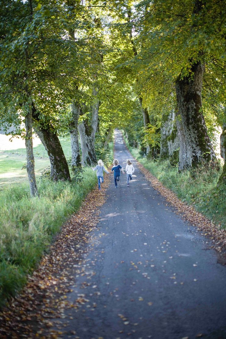
The southern clasp branches off from the Schlossparkradrunde at the northern end of Stötten am Auerberg in a northwesterly direction and takes us along lonely paths along the Geltnach to Bertoldshofen. Here we turn southwest and reach Marktoberdorf, the district town of the Ostallgäu. Particularly worth seeing is the former Prince-Bishop's Palace, which now houses the Bavarian Music Academy. A castle has been documented on this site since the 15th century; in the 18th century, Prince-Bishop Heinrich von Lichtenau had it rebuilt in the baroque style. The architect was the master builder Johann Georg Fischer, who came from Marktoberdorf and was known nationally for his works. Adjacent to the castle in a south-easterly direction is the almost two kilometer long linden avenue from the 18th century, which we have just cycled on. From Marktoberdorf, the highest district town in Germany, we follow the “Wertach Experience” cycle path southwards and reach Leuterschach and a new Wertachsteg near Eschenau to Oberthingau, where we come back to the Schlossparkradrunde.
The route runs from Stötten a. A. via Marktoberdorf further to Leuterschach and Unterthingau.
A bicycle repair kit for minor repairs is available at the Marktoberdorf tourist office.
Ähnliche Touren
- Radtour
Lake Constance long-distance cycle track
The Lake Constance cycle path with its 216 kilometres in total is one of the most popular long-distance cycle tracks in Europe - and deservedly so. Along the idyllic shores of Lake Constance we drive clockwise through the cultural landscape of the picturesque...
mehr dazuDistanz 17,9 km Dauer 1:00 h Aufstieg 76 m Schwierigkeit mittel
Die Inhalte dieser Seite werden in Kooperation mit Outdooractive bereitgestellt.