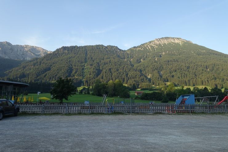
The Aggenstein summit requires alpine experience. Two mountain huts along the way invite you to stop for a bite to eat.
Füssen Tourismus und Marketing
- Strecke13,39 km
- Dauer7:00 h
- Aufstieg1339 Hm
- Abstieg1252 Hm
- Schwierigkeitschwer
Höhenprofil
Via the Reichenbachklamm gorge, the wildly romantic route leads up to the pasture area of the high alp and continues via the border hut to the Bad Kissinger hut. On the striking Aggenstein mountain you enjoy a summit panorama to kneel down. The black-feathered mountain jackdaws are also already there, performing acrobatic flight acts and gladly helping to destroy the summit snack. The GEO Trail leads via nine information stations to the Ostler Hut on the Breitenberg mountain. Return from the restaurant Fallmühle to the Breitenberg cable car valley station by bus or on foot via the Bachweg along the stream.
Surefootedness and sometimes a head for heights required, partly rope-secured, partly very gravelly and steep sections.
Hiking poles are highly recommended especially for the ascent to Bad Kissinger hut and for all descents.
Die Inhalte dieser Seite werden in Kooperation mit Outdooractive bereitgestellt.