Nice circular trail around the Alpsee lake.
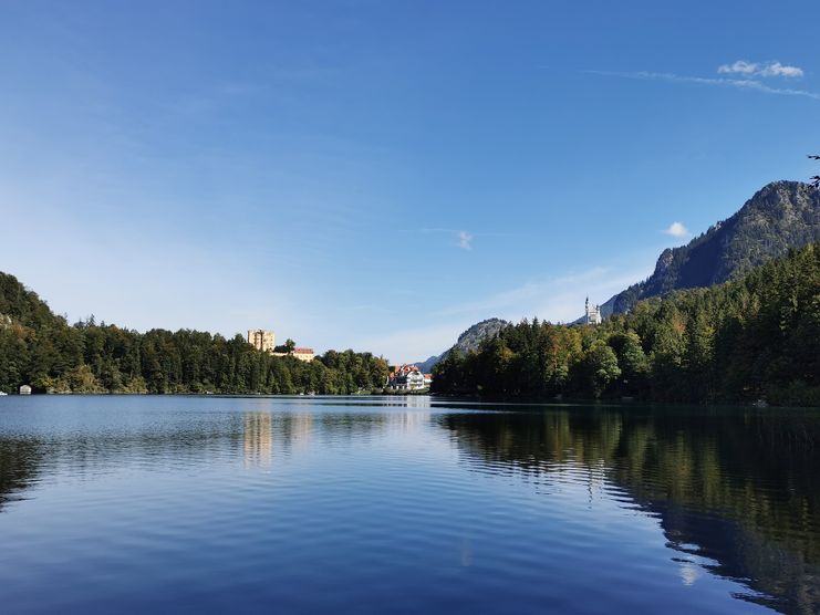
Nice circular trail around the Alpsee lake.
The water surface glows emerald green. A romantic circular hike leads partly along the shore, partly high above the lake and offers beautiful views of the lake, the mountains and the royal castles.
Schöne Tour zur Kapelle Maria Trost. Nordic-Walking geeignet.
| Distanz | 6,2 km |
| Dauer | 1:45 h |
| Aufstieg | 344 m |
| Schwierigkeit | mittel |
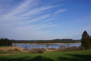
Der Rundweg 14 führt uns auf einer ausgedehnten Route um den Rottachsee.
| Distanz | 14,2 km |
| Dauer | 4:00 h |
| Aufstieg | 97 m |
| Schwierigkeit | mittel |
Die Tour führt uns von Sulzberg über Burgratz, Haneberg, Öschle, Steingaden und Unterminderdorf.
| Distanz | 8,0 km |
| Dauer | 2:00 h |
| Aufstieg | 39 m |
| Schwierigkeit | mittel |
The "Pöllatschlucht" (a wild gorge) is currently closed.
Carpark Hohenschwangau - Pöllat Gorge - Marien Bridge - Village Hohenschwangau - Castle Hohenschwangau - Schwansee lake - Kalvarienberg - City Füssen - Village Horn - carpark Hohenschwangau
| Distanz | 14,0 km |
| Dauer | 4:30 h |
| Aufstieg | 426 m |
| Schwierigkeit | mittel |
Eine herrliche Wanderung für Jung und Alt mit einem wunderschönen Ausblick.
| Distanz | 7,3 km |
| Dauer | 3:30 h |
| Aufstieg | 293 m |
| Schwierigkeit | mittel |
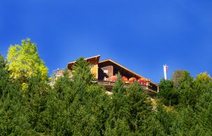
Eine tolle Wanderung auf einen der beliebtesten Berge im Tannheimer Tal.
| Distanz | 9,7 km |
| Dauer | 5:30 h |
| Aufstieg | 836 m |
| Schwierigkeit | mittel |
Eine Wanderung, die einem alles bietet...
| Distanz | 15,3 km |
| Dauer | 7:50 h |
| Aufstieg | 1.127 m |
| Schwierigkeit | mittel |
Eine entspannte Wanderung für Genusswanderer, die lieber länger statt hoch laufen.
| Distanz | 101,5 km |
| Dauer | 26:25 h |
| Aufstieg | 932 m |
| Schwierigkeit | mittel |
Eine entspannte Wanderung durch das nördliche Ostallägu für Genusswanderer, die lieber gerne länger statt hoch laufen.
| Distanz | 24,7 km |
| Dauer | 6:30 h |
| Aufstieg | 348 m |
| Schwierigkeit | mittel |
Ein wunderschöne entspannte Wanderung im nördlichen Landkreis für Genusswanderer, die lieber weit als hoch wandern.
| Distanz | 23,7 km |
| Dauer | 6:00 h |
| Aufstieg | 87 m |
| Schwierigkeit | mittel |
Die Inhalte dieser Seite werden in Kooperation mit Outdooractive bereitgestellt.